
Beyond Standard Surveys: Expanding the FARO Orbis Into New Applications
When most field teams think of mobile 3D laser scanning, they envision building interiors, industrial plants, or urban infrastructure. However, one of the most compelling new applications for mobile scanners like the FARO Orbis is in environmental engineering—specifically in stream restoration, living shorelines, and floodplain monitoring.
Traditionally, 5-year post-construction monitoring relies on slow, manual cross-section survey methods. The result? Tables of numbers and fragmented datasets that fail to clearly convey real-world conditions to clients, regulators, and non-technical stakeholders.
By deploying SLAM-based mobile 3D scanning into riparian corridors, environmental firms are cutting field time while creating rich, defensible point clouds that drop directly into existing GIS and hydraulic modeling workflows.
What the FARO Orbis Brings to Environmental Work
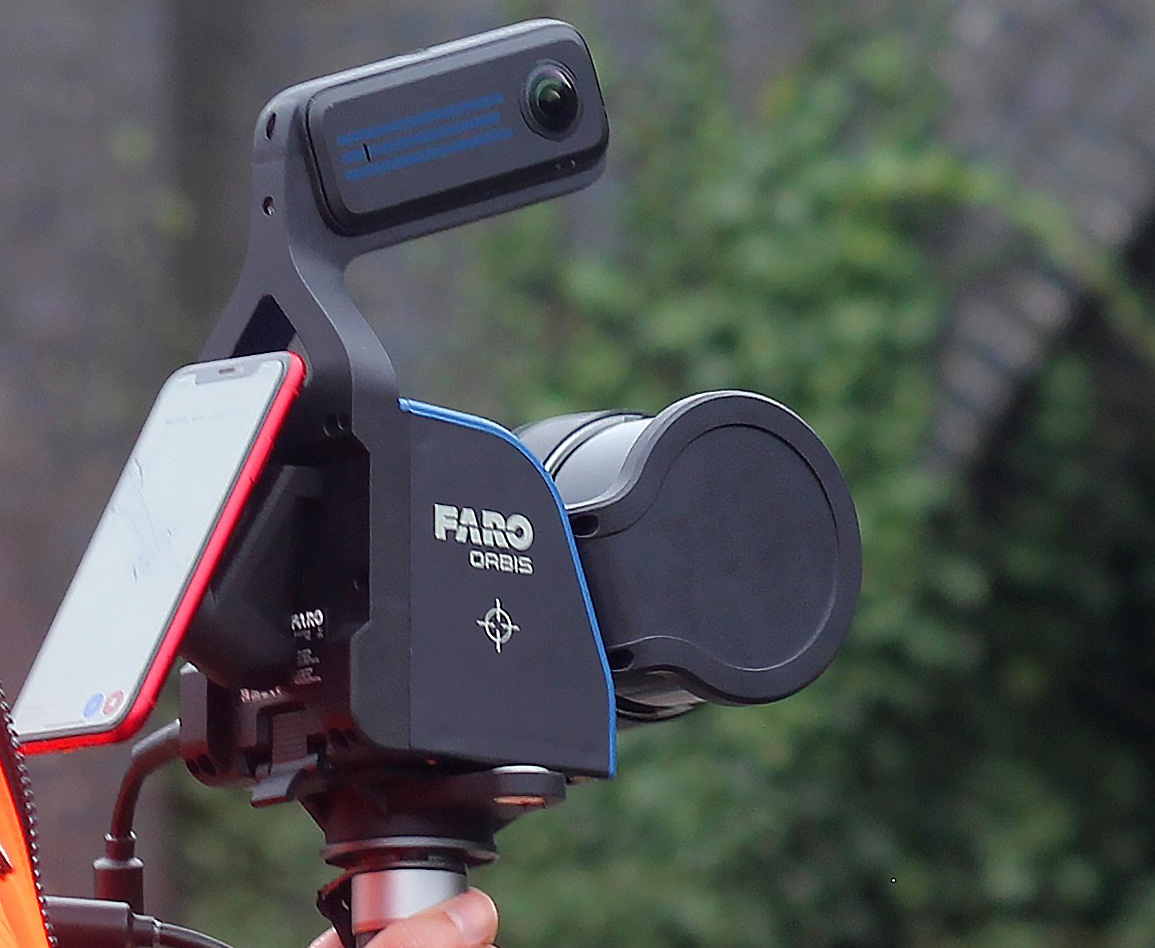
The FARO Orbis mobile scanning system is built to navigate terrain where traditional total stations and static scanners struggle—such as heavily vegetated riparian corridors, tidal shorelines, and uneven floodplains.
Key capabilities for ecological and stream applications include:
- High-Speed Corridor Capture: Rapidly surveys riparian corridors and shoreline environments without requiring time-consuming static tripod setups.
- Richer, Defensible Data: Replaces point-sparse cross-section measurements with dense point clouds that stand up under agency review.
- Direct Workflow Integration: Native data outputs integrate directly into ArcGIS Pro and HEC-RAS 1D/2D hydraulic models.
- Accessible Visualizations: Generates intuitive 3D models that clients, public audiences, and permit reviewers can evaluate at a glance without GIS expertise.
Key Applications Across Environmental Project Types
1. Stream Restoration & Hydraulic Modeling
- Baseline & Verification:Captures exact channel geometry for pre-construction baselines and post-construction verification.
- Single-Pass Geometries: Characterizes bankfull geometry, floodplain extent, and channel slope in a single walk-through pass.
- Credit Documentation:Provides essential supporting documentation for Chesapeake Bay Watershed stream restoration credits.
- HEC-RAS Readiness:Produces accurate cross-section datasets formatted directly for 1D and 2D hydraulic modeling.
2. Living Shorelines
- Tidal Baseline Surveys:Performs detailed baseline surveys across both tidal and non-tidal conditions.
- Structural Feature Mapping: Documents critical physical elements such as rock sills, marsh toes, and oyster substrate.
- Permitting Support:Supplies rich spatial datasets that streamline permit applications and mitigation design
3. Mitigation & Regulatory Compliance
- Agency Submittals: Prepares comprehensive pre-disturbance condition reports for agency reviews.
- Wetland Support:Assists in compensatory mitigation design for sensitive stream and wetland projects.
- Archive-Quality Records:Creates lasting digital twin archives that simplify long-term annual reporting obligations.
Deliverables That Work for Everyone in the Room
Introducing mobile scanning into environmental workflows yields output that serves every stakeholder across the project lifecycle:
- For GIS Teams:Native ArcGIS-compatible outputs ready for immediate spatial analysis.
- For Engineers: Data packages formatted to support complex stormwater management plan development.
- For Clients & Regulators:Intuitive 3D point clouds and visualizations that eliminate guesswork during review meetings.
- For Public Outreach: Engaging visual assets suitable for media, community presentations, and ecological benefit communication.
The Bottom Line:
You no longer have to trade field efficiency for data clarity. Applying the FARO Orbis to stream and shoreline projects provides regulators with defensible proof, clients with clear visuals, and field teams with significantly reduced site time.
Streamline Your Next Project
Have an upcoming project where traditional survey documentation has created a bottleneck? Reach out to explore how mobile laser scanning fits into your firm’s current workflow.
Tags: Scan-to-BIM, Sphere® XGCategorized in: Articles
This post was written by Soniel San Pedro