Staying aligned with real-time site conditions can be challenging—especially when updates are scattered across emails or rely on memory from the last walkthrough.
FARO addresses this by bringing site capture and data management into a single “Digital Reality” ecosystem with Sphere XG and the JobWalk app. Together, they provide a clear, structured view of your project at every stage.
See Sphere XG with 360-Images In Action
We recently applied this workflow on an urban surveying project to demonstrate how multiple data types work together seamlessly.
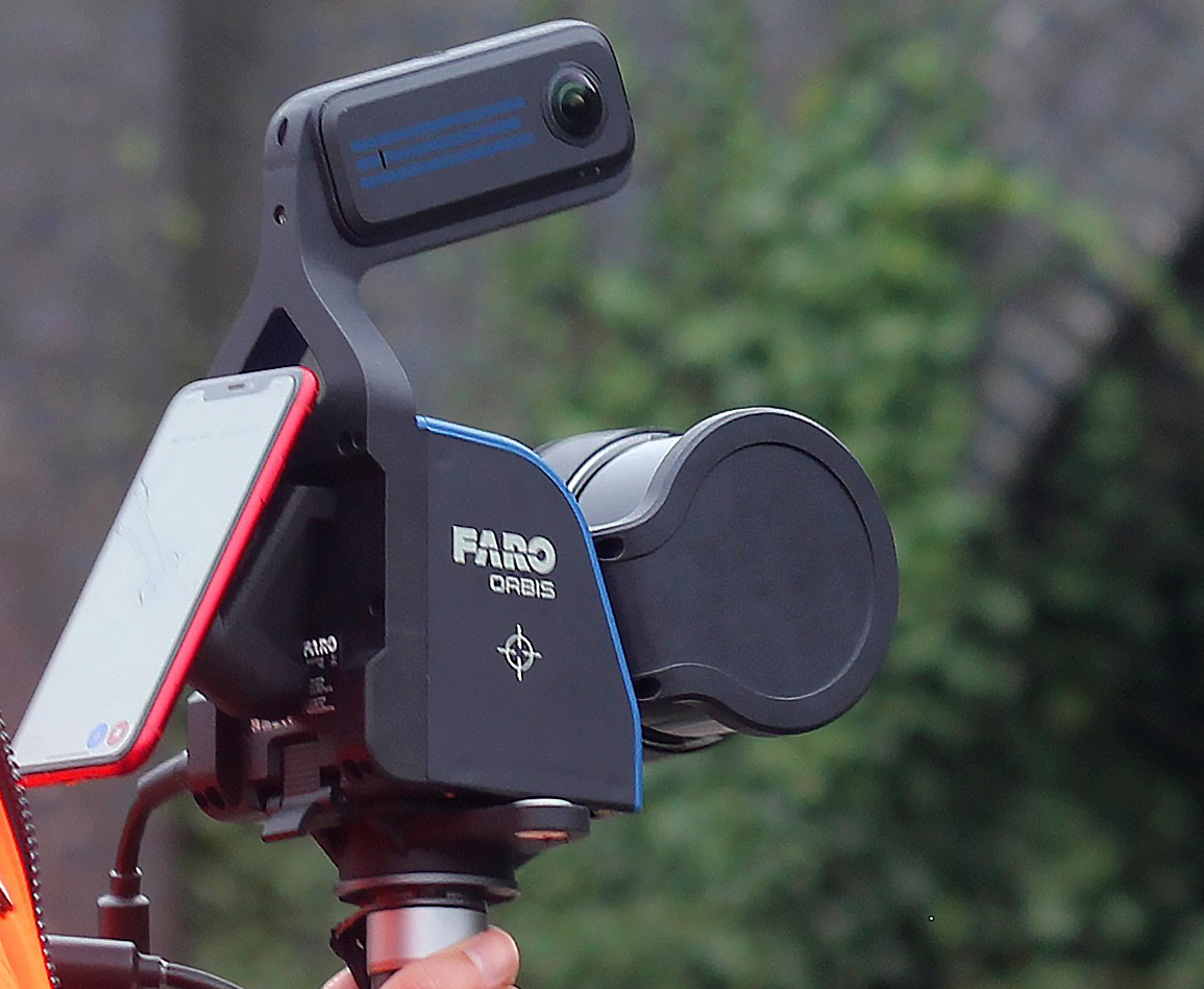
The project combines high-density 3D data from a vehicle-mounted FARO Orbis Premium with a JobWalk capture using a Ricoh Theta 360° camera—delivering both precision and rapid site visibility.
360° photos
3D point clouds
Click the link above to explore the project and see how this approach can reduce rework and streamline coordination.
If you’re interested in applying this on your next project, I’d be happy to walk you through it.
Tags: