FARO® Orbis™ Premium and TopoDOT® Revolutionize Urban Surveying
Mobile mapping is transforming urban surveying by enabling faster data collection, improved efficiency, and greater field safety. By combining LiDAR, cameras, and inertial sensors on a mobile platform, survey teams can quickly capture accurate geospatial data with less time spent in the field.
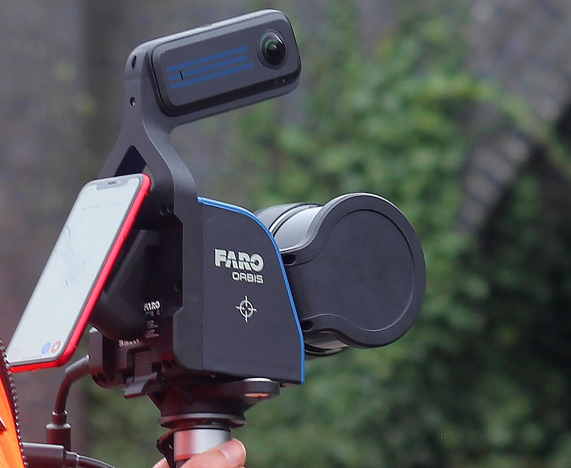
The FARO Orbis Premium mobile mapping system offers a cost-effective solution for small to mid-sized projects such as roadways, campuses, and site infrastructure. Lightweight and versatile, it can be used on a vehicle mount or in a backpack configuration to efficiently scan large areas.
Paired with TopoDOT, the system provides a complete workflow from scan capture to CAD-ready deliverables. The Orbis Premium produces high-quality colorized point clouds and 360° imagery, which can be accessed and shared through the FARO Sphere XG cloud platform for easy viewing and quality checks.
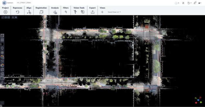
TopoDOT then converts this data into usable deliverables through advanced feature extraction, breakline creation, surface modeling, and asset identification. Automated tools and strong QA/QC workflows help ensure accurate, efficient results for surveying, infrastructure planning, and asset management.
Together, FARO Orbis Premium and TopoDOT deliver a powerful and flexible solution for urban mapping—bringing high-performance mobile scanning to projects of any size.
Find Out How Small Teams Are Mapping Cities Faster
CLICK to see more Specials, Deals and Updates